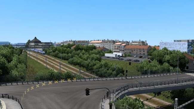
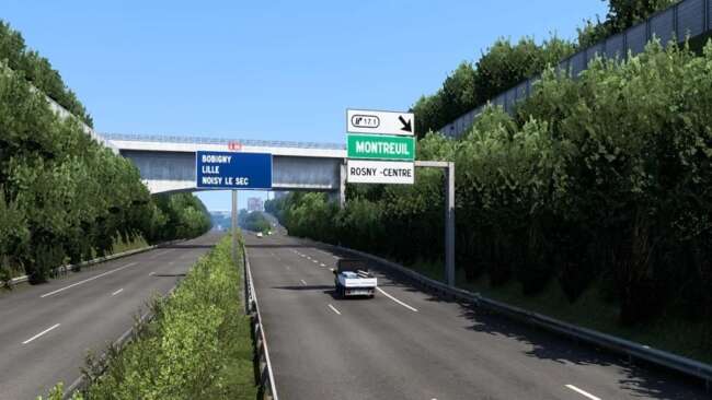
ÎLE-DE-FRANCE MAP (PARIS SUBURBS) V0.2 UPDATE


Description:
Update 0.02 :
[+] Fixed major bug : removed invisible walls on highways (in A86, A3).
[+] Added decorations, street lamps and missing bridges on A3.
Update 0.01 :
[+] OFFICIAL RELEASE
[+] Cities of Rosny-sous-Bois, Charenton-le-Pont, Saint-Mandé, Vincennes, Bagnolet and the 12 and 20th districts of Paris.
[+] SNCF, Bercy 2, La Poste, Carrefour, Eiffage, SFCP, Westfield Rosny 2, Marché Grand Frais, Castorama and the Rosny-sous-Bois pedagogic farm companies.
[+] A3, A4, A86, A103 and A186 highways.
Authors:
georges93
idf_map_v0.02_1.44.x.scs – 3.80 MB uploadfiles.eu/sharemods.com
NEXT NEW


