Île-de-France Map (Paris suburbs) v0.2 Update
Descriptions:
Update 0.02 :
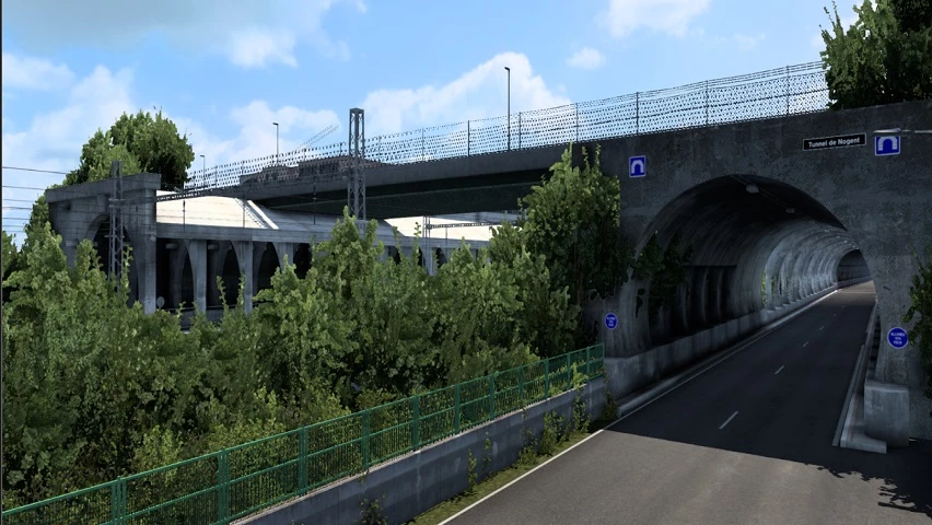
[+] Fixed major bug : removed invisible walls on highways (in A86, A3).
[+] Added decorations, street lamps and missing bridges on A3.
Update 0.01 :
[+] OFFICIAL RELEASE
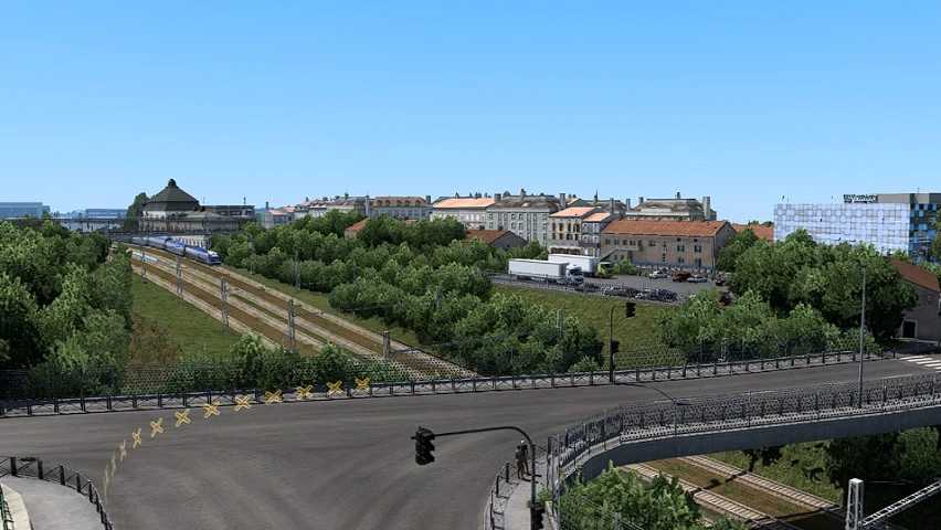
[+] Cities of Rosny-sous-Bois, Charenton-le-Pont, Saint-Mandé, Vincennes, Bagnolet and the 12 and 20th districts of Paris.
[+] SNCF, Bercy 2, La Poste, Carrefour, Eiffage, SFCP, Westfield Rosny 2, Marché Grand Frais, Castorama and the Rosny-sous-Bois pedagogic farm companies.
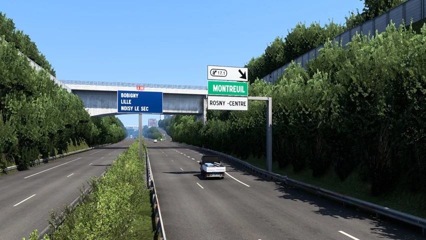
[+] A3, A4, A86, A103 and A186 highways.
Authors:
Georges93
Download Link: Download mod
* By clicking [Download mod] button you agree to leave this website. The link opens in the new tab. File is hosted in the external website. We are not responsible for the content of the external page and the possibility of free download of the file.
Subscribe
0 Comments
Newest