Île-de-France (Paris Suburbs) v0.0.8a 1.48
Descriptions:
Changes v0.0.8a
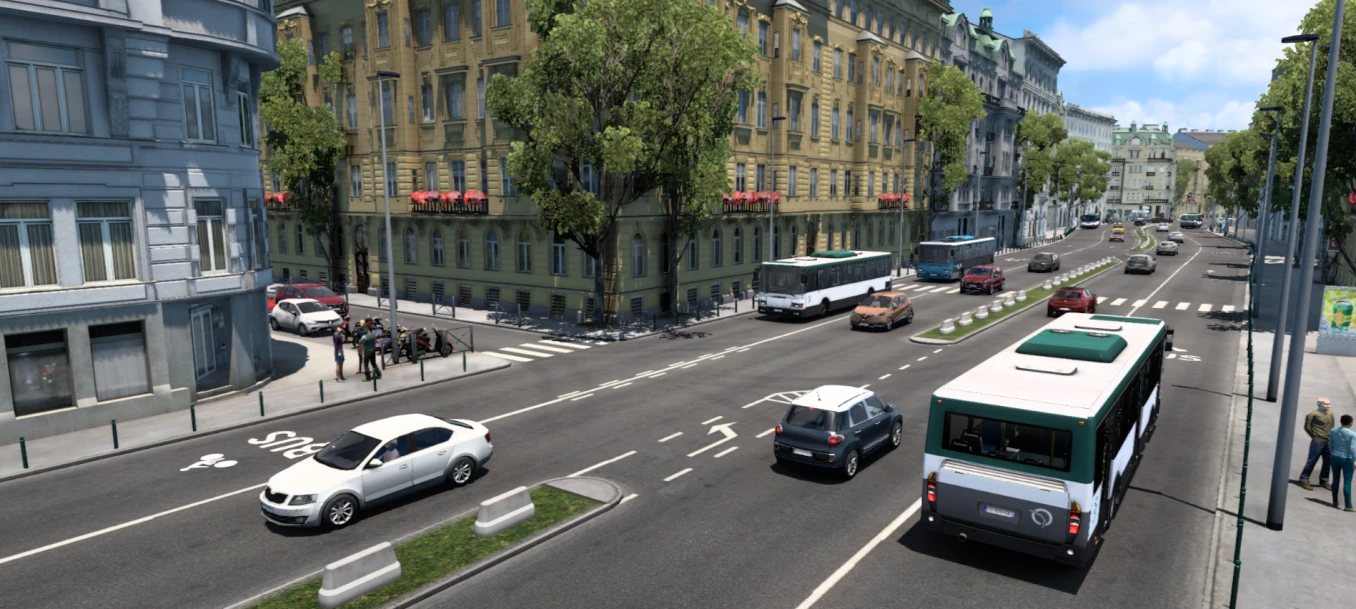
-Addition of the 4th arrondissement of Paris (including Place de la Bastille, the Bercy – Seine Bus Station and 5 companies)
-Addition of the city of Saint-Maurice (including 1 company)
-Entire recreation of the north of the city of Rosny-sous-Bois and the west of Villemomble (including the addition of the Westifield Rosny 2 Shopping Center)
-Recreation of the A4 motorway (between Créteil and Paris)
-Added bus lines icons to bus stops (visible at maximum map zoom)
-Bug fixes
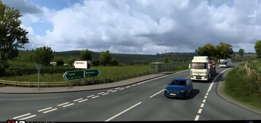
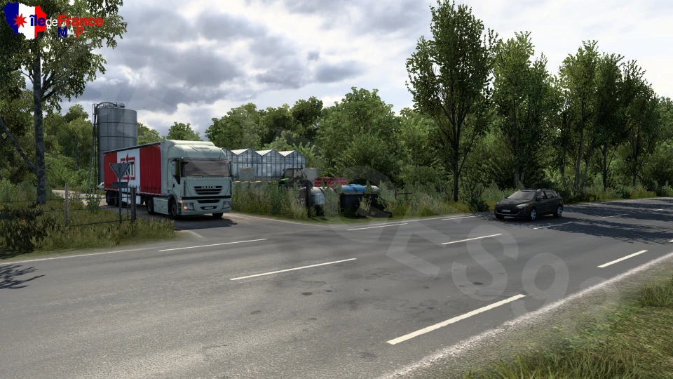
Île-de-France map or Paris suburbs map is inspired by the Île-de-France region, located in France, in particular on the eastern suburbs of Paris. (Some parts of the West, North and South part and even of the Center of Paris may appear in the future, some areas of the center of Paris or other known places).
The map is standalone and the size is approximately 1:1, but some parts may not look like the real thing and have been modified from the real thing.
I mainly focus on the Eastern suburbs and my main objective is to realize all the cities of the departments of Seine-Saint-Denis (93), Val-de-Marne (94) and Seine-et-Marne (77).
Tested for 1.48.x
Authors:
Georges93
Download Link: Download mod
* By clicking [Download mod] button you agree to leave this website. The link opens in the new tab. File is hosted in the external website. We are not responsible for the content of the external page and the possibility of free download of the file.